GPS tracking technology
What is GPS location tracking?
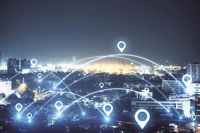
GPS (Global Positioning System) tracking is a location technology that determines the geographic position of an object by calculating signals received from multiple satellites orbiting the Earth. When combined with cellular or wide-area networks, GPS tracking systems transmit location data to software platforms for real-time monitoring and analysis.
GPS tracking is designed for outdoor and wide-area environments, making it suitable for assets that move between sites, operate in the community or travel across regions.
How does GPS tracking work?
Satellite-based positioning
A GPS tracking tag is attached to the item being monitored. When the asset is outdoors, the tracker determines its location by receiving signals from multiple satellites orbiting the Earth.
The GPS receiver calculates its position by analysing the time it takes for each satellite signal to arrive and the distance between them. By combining this data, the device can accurately determine its latitude and longitude across wide geographic areas.
Location processing & data transmission
Once a position is calculated, location data is processed and transmitted using cellular or wide-area communication networks.
This allows asset locations to be updated in near real time and shared with central tracking or asset management systems.
Designed for outdoor environments
GPS tracking is optimised for outdoor and wide-area use where satellite visibility is available.
In contrast to indoor positioning systems, which rely on fixed local infrastructure within buildings, GPS operates independently of on-site hardware and is well suited to community and field-based environments.

The benefits of GPS technology
- Real-time outdoor visibility
Monitor the live location of assets operating outside buildings, including in community, field-based and remote environments. - Reduced asset loss and theft
Geofencing and location alerts help identify when assets move outside defined areas, supporting loss prevention and recovery. - Improved asset utilisation
Location and movement data provides insight into how often and where assets are used, supporting better planning and allocation. - Faster asset retrieval
Quickly locate mobile assets when they are needed, reducing downtime and improving service availability. - Wide-area coverage
GPS tracking works across cities, regions and rural areas without the need for fixed tracking infrastructure.
GPS vs indoor positioning systems
GPS tracking and indoor positioning systems are location technologies designed for different operating environments. GPS is used to track assets across outdoor, community and wide-area locations, while indoor positioning systems rely on local infrastructure to deliver high-precision location data within buildings and confined spaces.
- GPS tracking is best for outdoor, community and wide-area environments
- Indoor positioning systems, including RFID, Bluetooth Low Energy (BLE) and Ultra-Wideband (UWB), are designed for indoor tracking and high-precision location
- Hybrid deployments combine GPS with indoor positioning systems to deliver seamless indoor-to-outdoor asset visibility
The most effective tracking approach depends on asset movement patterns, the operating environment and the level of location accuracy required.
Integrating GPS with indoor positioning systems
When GPS and indoor positioning systems such as RFID, BLE and UWB are integrated into a single system, organisations gain a complete view of asset movements.
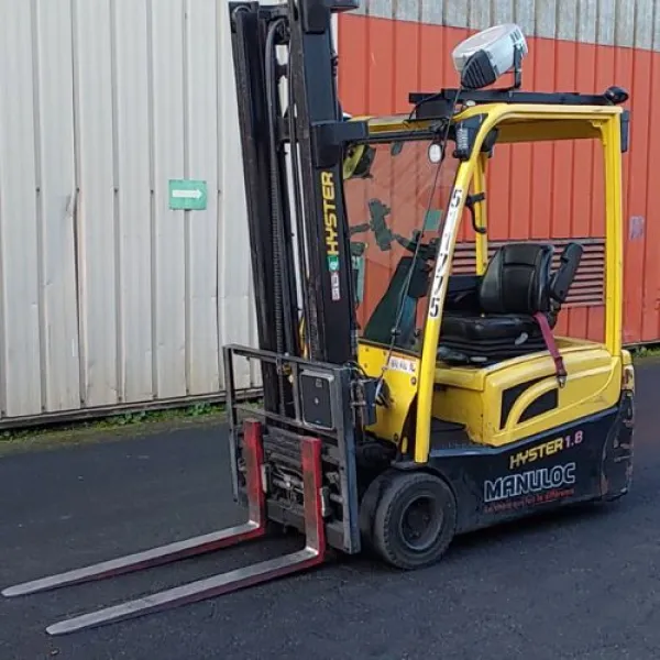
GPS can be used to track the location of a vehicle such as a forklift or lorry, while indoor positioning systems are able to identify pallets or individual items being carried.
When an item is dropped or unloaded, its location can be automatically recorded based on the vehicle’s position at that moment. This enables accurate asset tracking, delivery verification and theft prevention without requiring fixed infrastructure across large or mixed environments.
Use cases of GPS tracking technology
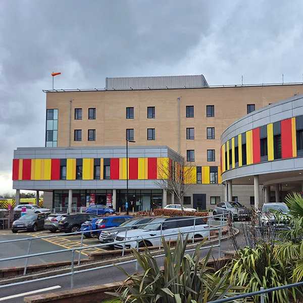
GPS tracking of medical devices in the community

Manufacturing
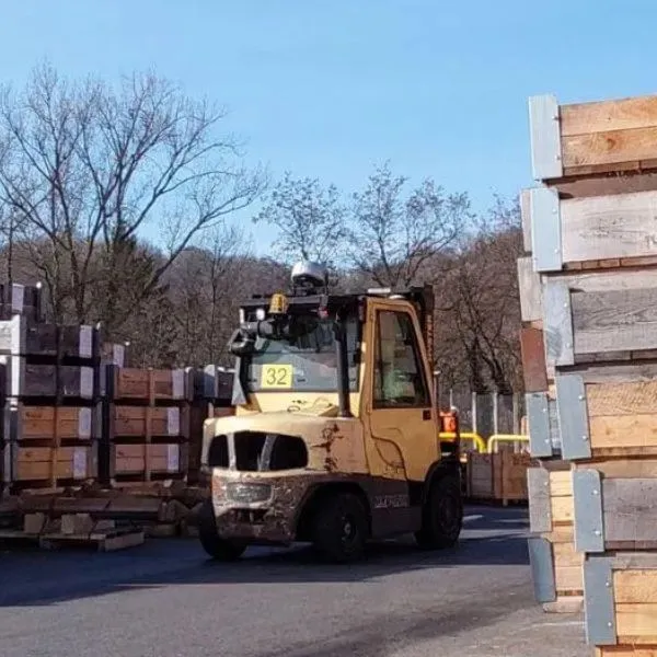
Construction, oil & gas and mining
Frequently asked questions (FAQs)
Can GPS tracking be used together with indoor RTLS systems?
Yes. GPS complements indoor tracking technologies such as RFID, BLE and UWB, enabling seamless indoor and outdoor asset visibility within one platform.
What types of assets can be tracked using GPS?
GPS tracking is commonly used for mobile assets such as vehicles, containers, tools, medical devices and equipment that operate across outdoor or off-site environments.
How accurate is GPS tracking?
GPS tracking typically provides location accuracy within a few metres in outdoor environments. Accuracy may vary depending on signal availability, surrounding buildings and environmental conditions.
Is GPS tracking secure?
GPS tracking data is securely transmitted using cellular networks and managed within controlled software platforms. Access permissions and system controls ensure data is protected and used appropriately.
How often does a GPS tracker update its location?
The location update frequency for GPS trackers depends on the tracking configuration, power management settings and use case. Updates can range from near real-time to scheduled intervals to balance visibility and battery life.